Unmaned Surface Vehicles
Echo Sounders
Side Scan Sonars
Acoustic Doppler Current Profilers
Total Stations
Electronic Theodolites
Digital Levels
Automatic Levels
Handhelds Distance Meters
Prisms/Tripods/Poles/Staffs...
Mapping Drones & Payloads
UAV Applications
Terrestrial Laser Scanners
LiDARs
SLAM LiDAR
Satellite Imagery
Automatic Deformation Monitoring Systems
Environmental Monitoring Systems
Relevant Sensors
VR Simulated Surveying Training Systems
Auto Steering
Track Geometry Measuring Trolley Systems
Automated Tunnel Scanning & Inspection Systems
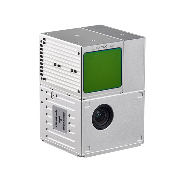
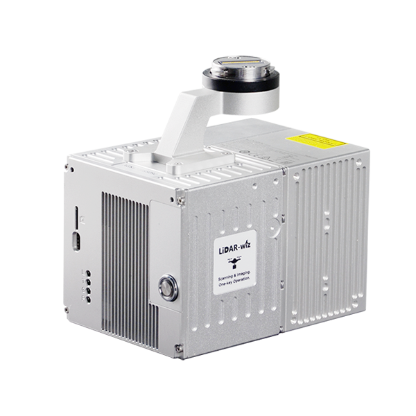
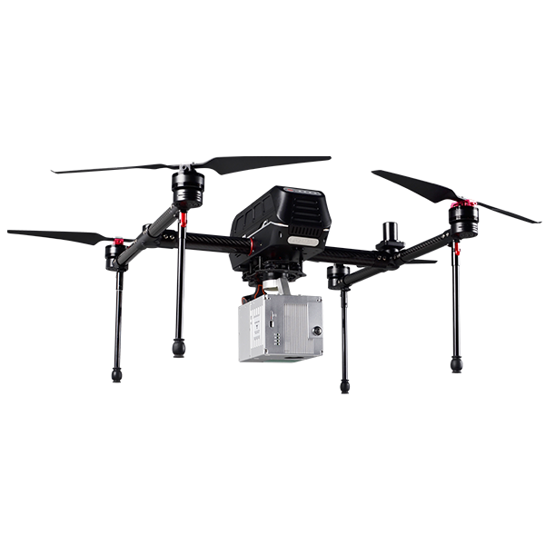
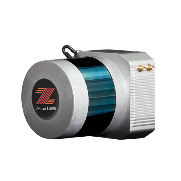
Model: LiDAR-wiz
Features
Specification
PLATFORM
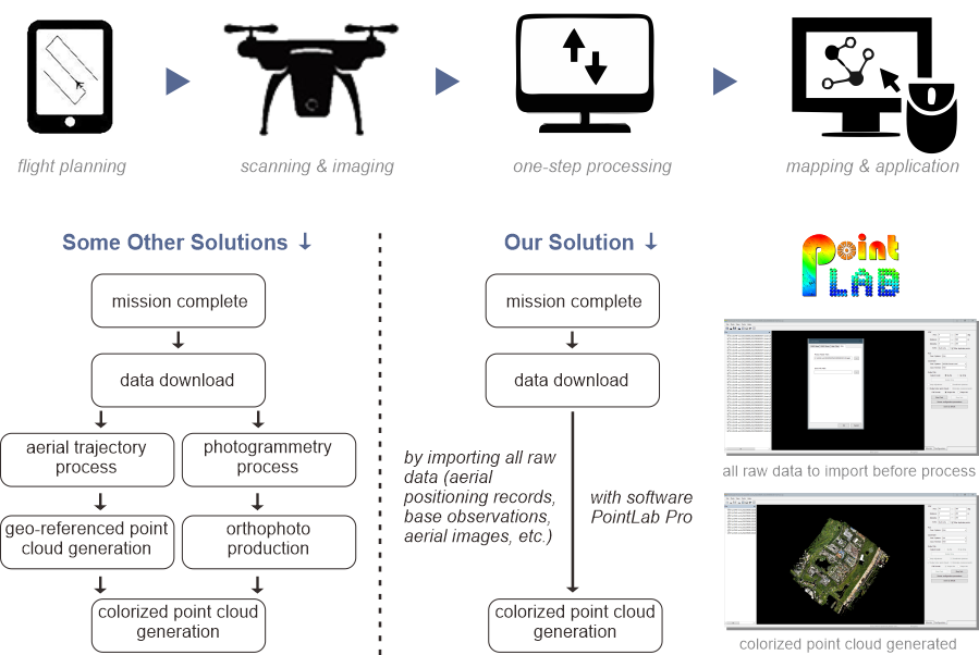
WORKFLOW
LiDAR-wiz | Product Series | Scan2Cloud |
Application Mode | UAV-based scanning & imaging | |
LiDAR Field-of-View | 70.4°(H.)x77.2°(V.) | |
Net Weight (with camera) | 1.015 kg | |
Dimensions (LxWxH) | 155x92x93 mm | |
Power Supply | 12-24 V | |
Power Consumption | 20 W | |
Constellation Support | GPS L1/L2/L5; Glonass L1/L2; BDS B1/B2/B3; Galileo E1/E5a/E5b |
|
Operating Temperature | -20~+55℃ | |
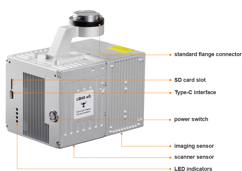
Data Storage | SD card, 64 GB on board, 128 GB external | |
Positioning Accuracy | ≤5 cm (H. 2 cm; V. 3 cm typical) | |
POS Refresh Rate | 200 Hz | |
IMU Accuracy | pitch/roll 0.025°; heading 0.08° | |
UAV Interface | standard flange connector | |
Scanner Type | solid state sensor | |
Laser Safety | Class 1 (IEC 60825-1:2014) | |
Laser Wavelength | 905 nm | |
Laser Channel | equivalent to 64-channel | |
Scanner Ingress Protection | IP 67 | |
Relative Accuracy | optimal 2 cm (1σ @ 20m) | |
Absolute Accuracy | ≤10 cm @100 m | |
Number of Echoes | max. 3 returns | |
Measurement Rate | max. 720,000 points per second (in triple returns) | |
Measuring Range | max. 450 m @ 80% reflectivity | |
Scanning Height | typical 50-200 m, best below 150 m | |
Inbuilt Camera | 26 MP, E17 mm | |
Imaging Field-of-View | 83° | |
Triggering Mode | equidistance/isochronal | |
Carrying Case Size | 155x92x93 mm |
Note: all information above is subject to change without any prior notice.
2687