News

  • Company News
  • Case Stories

Contact

  • Contact Info
  • Dealer List

Language

  • Chinese
  • English
Register Login
  • HOME
  • PRODUCTS

      Solutions

    • UAVs/Drones

    • Laser Scanners

    • Z-Lab LiDARs

    • Tunnel Inspection & Monitoring

    • Track Geometry Measuring Trolley

    • Deformation Monitoring Solutions

    • GIS Solutions

    • Mapping software

    • Survey Services & Data Processing

      GNSS Products

    • GNSS Systems

    • GIS Handhelds

    • Hydrography

    • GNSS Reference Networks

    • SOUTH Monitoring System

      Engineering Products

    • Total Stations

    • Theodolites

    • Levels

    • Laser Instruments

    • Accessories

  • APPLICATIONS
    • Overview

    • LiDAR, UAV, GIS ...

    • GNSS

    • Engineering Products

  • COMPANY
    • Company profile

    • Factory Facilities

    • Overseas Network

    • Global Activities

    • News

  • DOWNLOADS
    • Catalogues

    • Brochures

    • Manuals

    • Programs

  • Overview
  • LiDAR, UAV, GIS ...
  • GNSS
  • Engineering Products
  • HOME
  • APPLICATIONS
  • N40 Series
  • N7

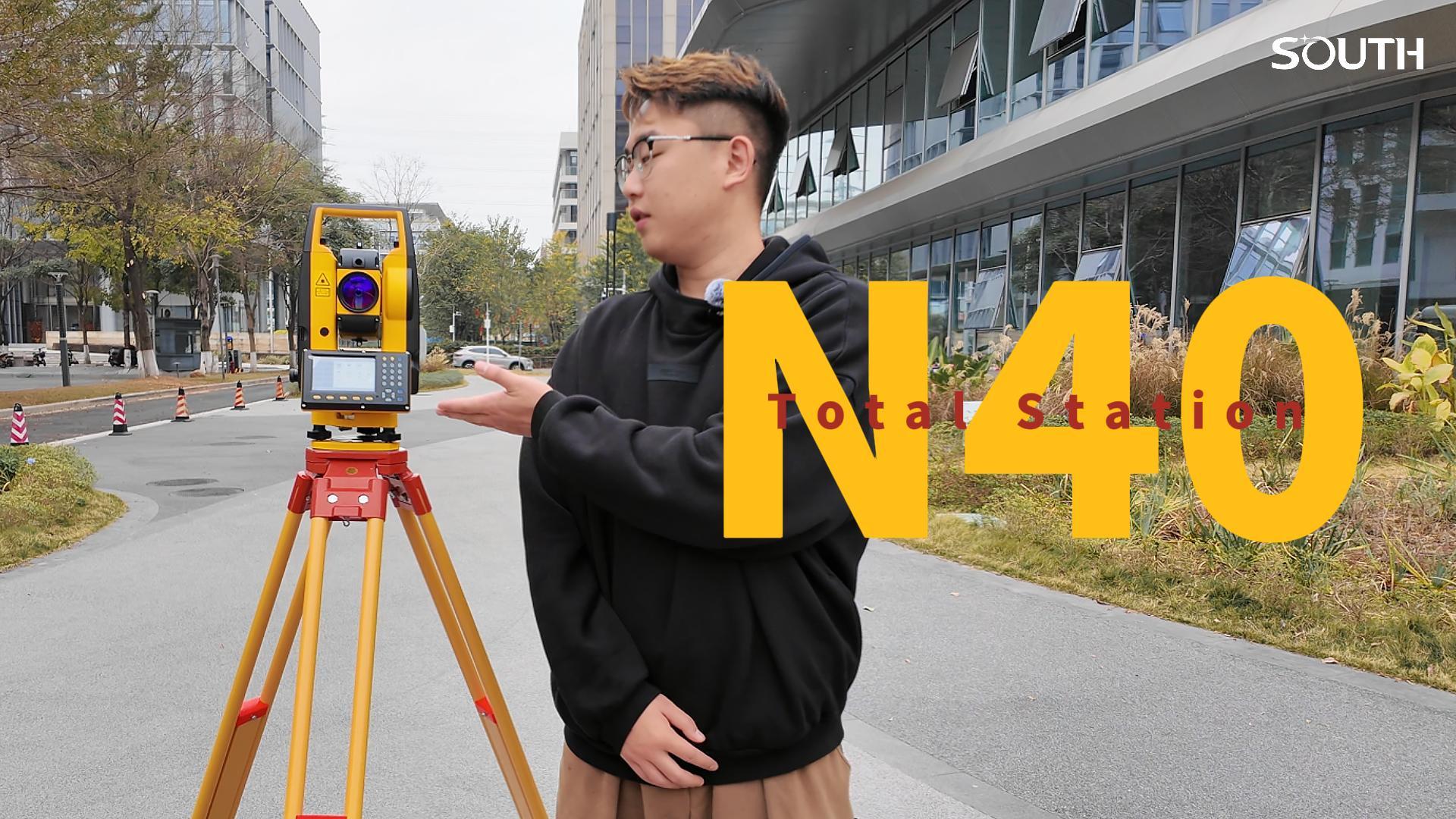
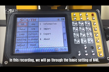
  • Episode 1_N40_Job Setting

    Episode 1_N40_Job Setting

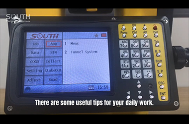
  • Episode 2_N40_Other Settings

    Episode 2_N40_Other Settings

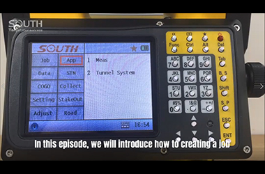
  • Episode 3_N40_Creating a new job

    Episode 3_N40_Creating a new job

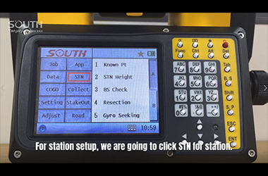
  • Episode 4_N40_Station Setup

    Episode 4_N40_Station Setup

  • Episode 5_N40_How to Setup a Total Station by Height Transfer

    Episode 5_N40_How to Setup a Total Station by Height Transfer

  • Episode 6_N40_How to setup a total station using Resection

    Episode 6_N40_How to setup a total station using Resection

  • Episode 7_N40_How to setup a total station using multi direction

    Episode 7_N40_How to setup a total station using multi direction

  • Episode 8_N40_Stake Out

    Episode 8_N40_Stake Out

  • Episode 9_N40_Measure a point

    Episode 9_N40_Measure a point

First

<

123 > Last
您的浏览器不支持 video 标签。

0%

      COMPANY

    • Company Profile
    • Overseas Network
    • Factory Facilities
    • News

      CONTACT US

    • Contact Info
    • Dealer List

      PRODUCTS

    • Solutions
    • GNSS Products
    • Engineering Products

      APPLICATIONS

    • LiDAR, UAV, GIS ...
    • GNSS
    • Engineering Products

      DOWNLOADS

    • Catalogues
    • Brochures
    • Manuals
    • Programs

      FOLLOW US

    © 2021 South Surveying & Mapping Technology CO., LTD. All rights reserved 粤ICP备16097590号Powered by Mainweb

    NEWSLETTER

    Please input your name and e-mail for the subscriptions.

    Submit now * Valid E-mail Preferred.