Unmaned Surface Vehicles
Echo Sounders
Side Scan Sonars
Acoustic Doppler Current Profilers
Total Stations
Electronic Theodolites
Digital Levels
Automatic Levels
Handhelds Distance Meters
Prisms/Tripods/Poles/Staffs...
Mapping Drones & Payloads
UAV Applications
Terrestrial Laser Scanners
LiDARs
SLAM LiDAR
Satellite Imagery
Automatic Deformation Monitoring Systems
Environmental Monitoring Systems
Relevant Sensors
VR Simulated Surveying Training Systems
Auto Steering
Track Geometry Measuring Trolley Systems
Automated Tunnel Scanning & Inspection Systems
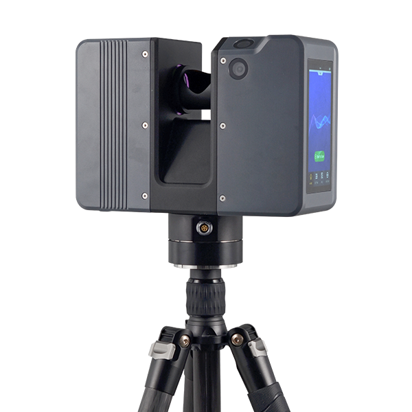
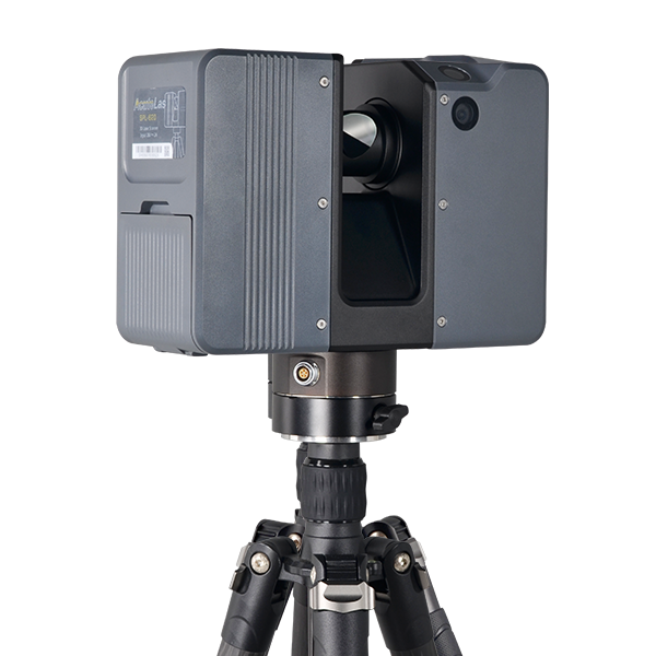
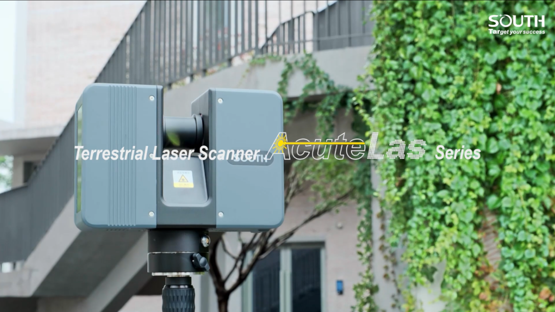
Model: SPL-1500/SPL-620/SPL-370/SPL-180
Features
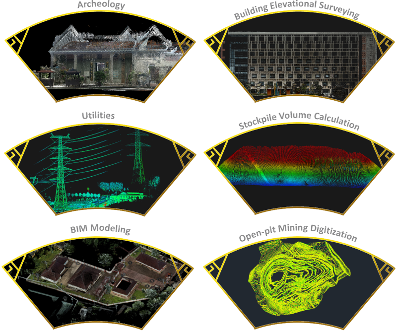
Applications
Specification
Product Videos
GENERAL | Model | SPL-1500/ SPL-620/ SPL-370/ SPL-180 |
Series | AcuteLas | |
Type | pulsed precise scan technology | |
TECHNICAL | Scan Range |
0.6-1500m/ 0.6-620m/ 0.6-370m/ 0.6-180m |
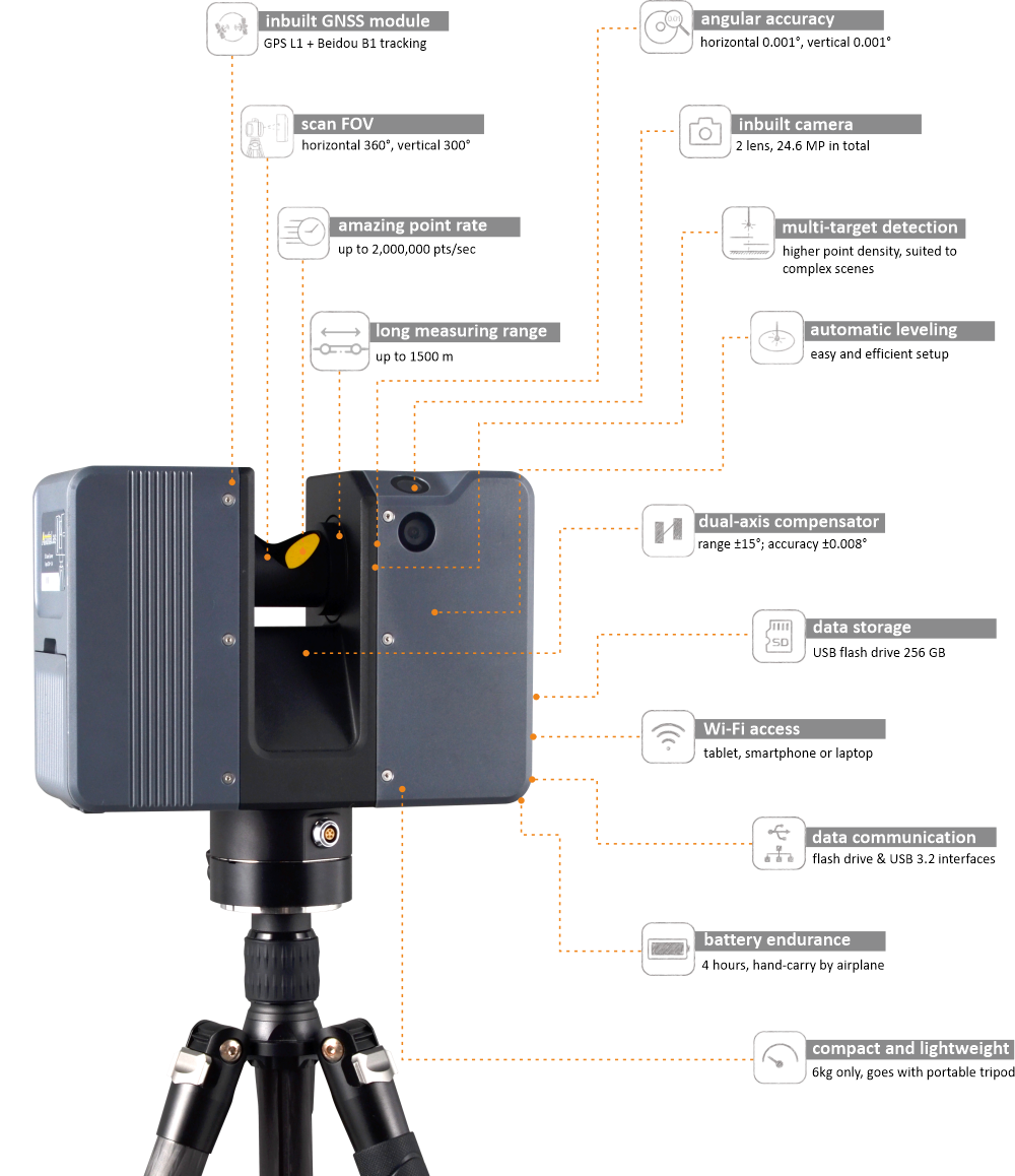
Scan FOV | 360° (H) x 300° (V) | |
Scan Rate | 2,000,000 pts/sec | |
Relative Accuracy* | 1.2mm @10m; 2mm @25m | |
Angular Accuracy | 0.001° (H/V) | |
Scan Speed | 80 Hz max. | |
Step Size | 0.018° (20,480 pts 3D-pixel on 360° H./V.) | |
Fieldwork Control | onboard touch screen or tablet remote via WLAN | |
Fieldwork Reference | approx.16 sec (scan only, fastest); 41 sec (scan + image, fastest | |
PHYSICAL | Dimension | 247x107x202 mm |
Weight | 4.85 kg (without battery); 5.3 kg (with battery) | |
Color | purple grey, solid uncoated | |
LED Screen | 5-inch HDR color touch display, 720x1280 dpi | |
Tripod Mount | lightweight elevating camera tripod, 3-section, quick release | |
Inverse Mounting | yes, downward up to 0.505 m by elevating tripod | |
ONBOARD SENSORS | Laser Scanner Sensor | Class-1 eye-safe (in accordance with IEC 60825-1:2014) |
Laser Wavelength | 1550 nm, invisible | |
Laser Divergence Angle | 0.5 mrad | |
Initial Beam Diameter | 3.6 mm | |
HDR Camera | inbuilt 2 nos. forward side and upward 45° | |
Imaging Resolution | 24.6 MP (12.3 MP x2) in total for one capture | |
Color Resolution | 8 directions, 45° each, 196.8 MP (12.3 MP x8x2) in total for one round | |
Dual-axis Compensator | compensating range ±15° | |
Height Sensor | to calculate the relative heights by inbuilt barometer and record in scan files | |
Temperature Sensor | to record the internal temperature of device realtime and keep it working within the right range | |
Compass | to record the northing direction while scanning | |
GNSS | integrated GPS (L1) & Beidou (B1) | |
ELECTRICAL | Power Supply | detachable battery unit (inside battery compartment) or external power supply |
Power Consumption | 40 W while scanning, typical | |
Battery Unit | rechargeable Li-ion battery, 28.8V, 3400mAh, 98Wh | |
Battery Endurance | approx. 4 to 4.5 hours per unit | |
ENVIRONMENTAL | Working Temperature | -20℃ to +60℃ |
Storage Temperature | -35℃ to +70℃ | |
Humidity Resistance | non-condensing | |
Ingress Protection | IP64 rating | |
INTERFACING | USB |
3.0, inside battery compartment |
WLAN | 802.11 b/g/n on board | |
External Power Supply | 18-24V DC, at bottom ring of the device | |
DATA MANAGEMENT | Storage | USB 3.0 flash drive, 256 GB (upgradeable) |
SOFTWARE | Remote control | AcuteLas Remote |
Pre-process | AcuteLas Studio | |
SDK Option | negotiable, based on project demand |
Note*: the accuracy performance here came from the good conditions based on factory standards while the actual performance might vary due to different environments (lighting, textures), reflectivitity, weather (temperature, humidity), etc. And all specifications are subject to change without any prior notice.
6361