- HOME
-
PRODUCTS
-
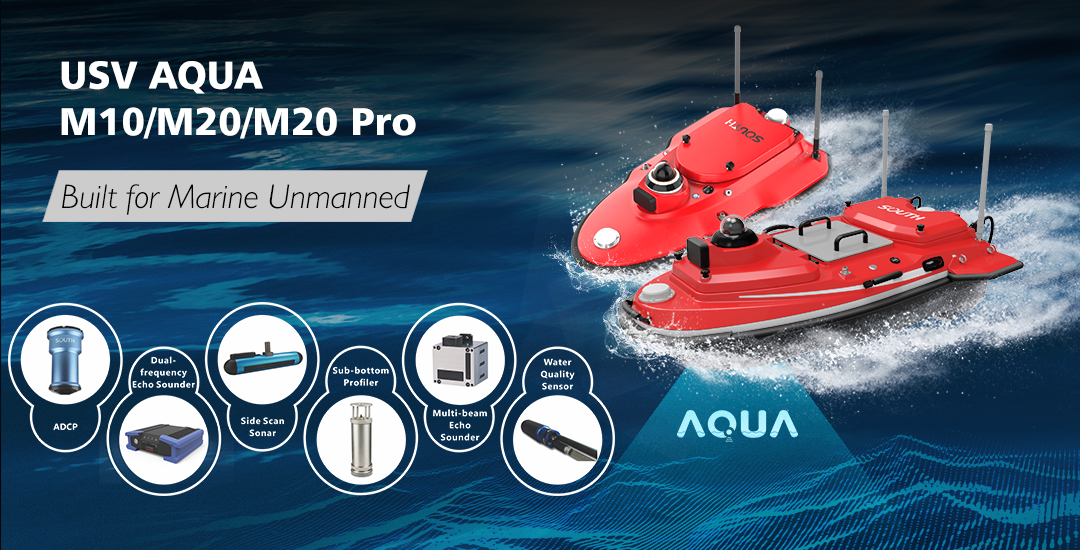
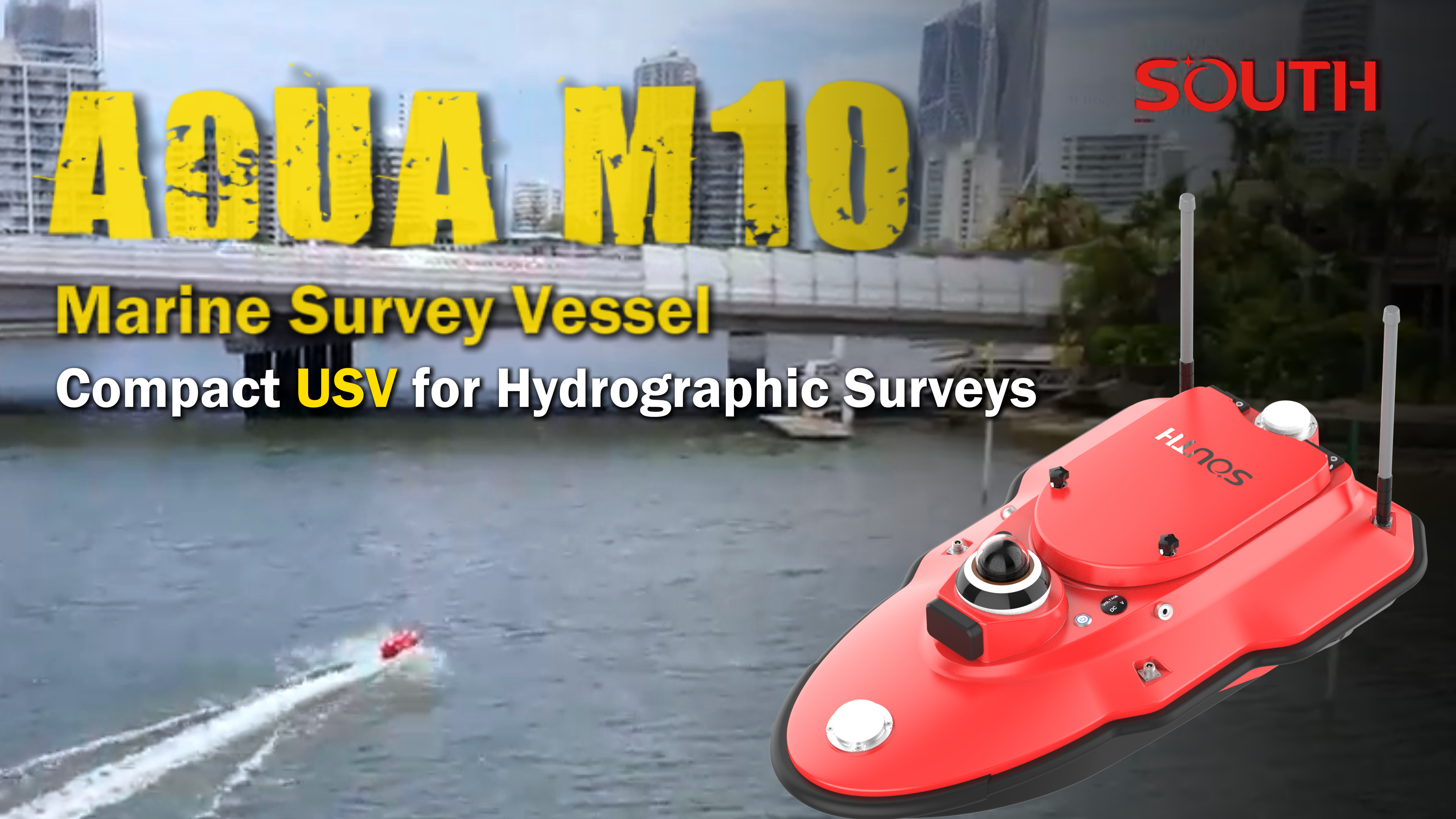
Unmaned Surface Vehicles
-
Echo Sounders
-
Side Scan Sonars
-
Underwater Sensor
-
Acoustic Doppler Current Profilers
-
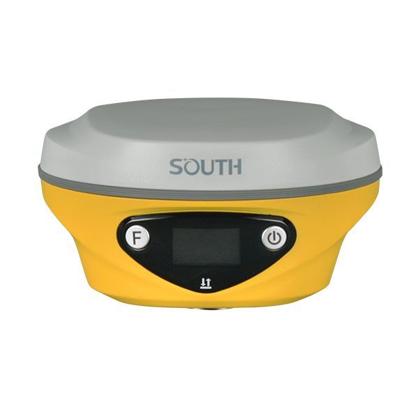
Marine positioning equipment
MARINE SURVEYING
-
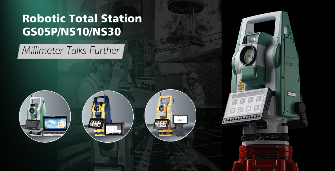
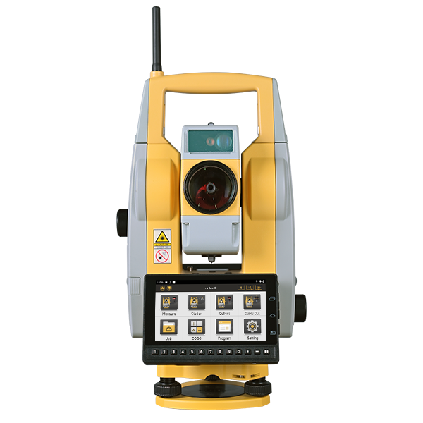
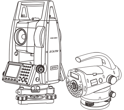
Total Stations
-
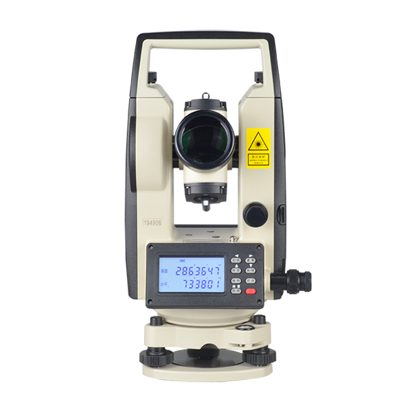
Electronic Theodolites
-
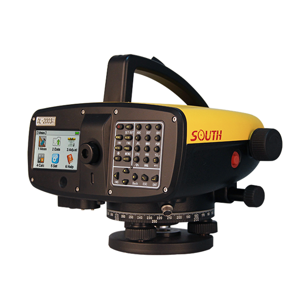
Digital Levels
-
Automatic Levels
-
Handhelds Distance Meters
-
Prisms/Tripods/Poles/Staffs...
CONVENTIONAL EQUIPMENTS
-
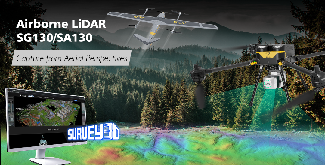
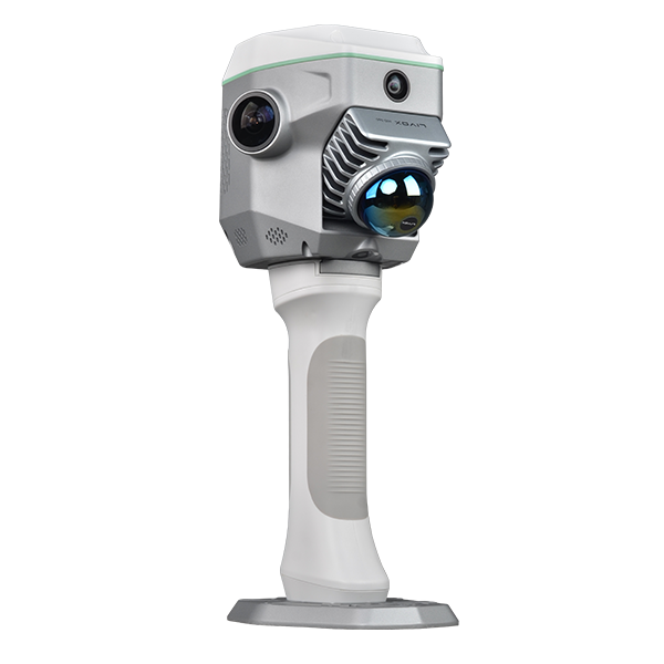
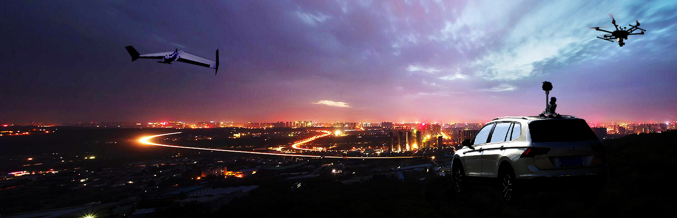
Mapping Drones & Payloads
-
UAV Applications
-
AcuteLas Studio Software
-
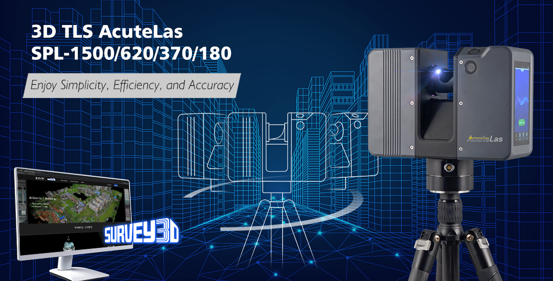
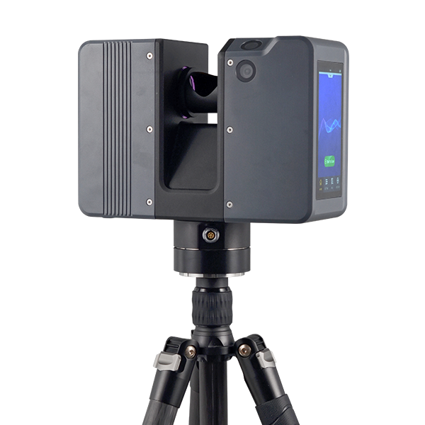
Terrestrial Laser Scanners
-
LiDARs
-
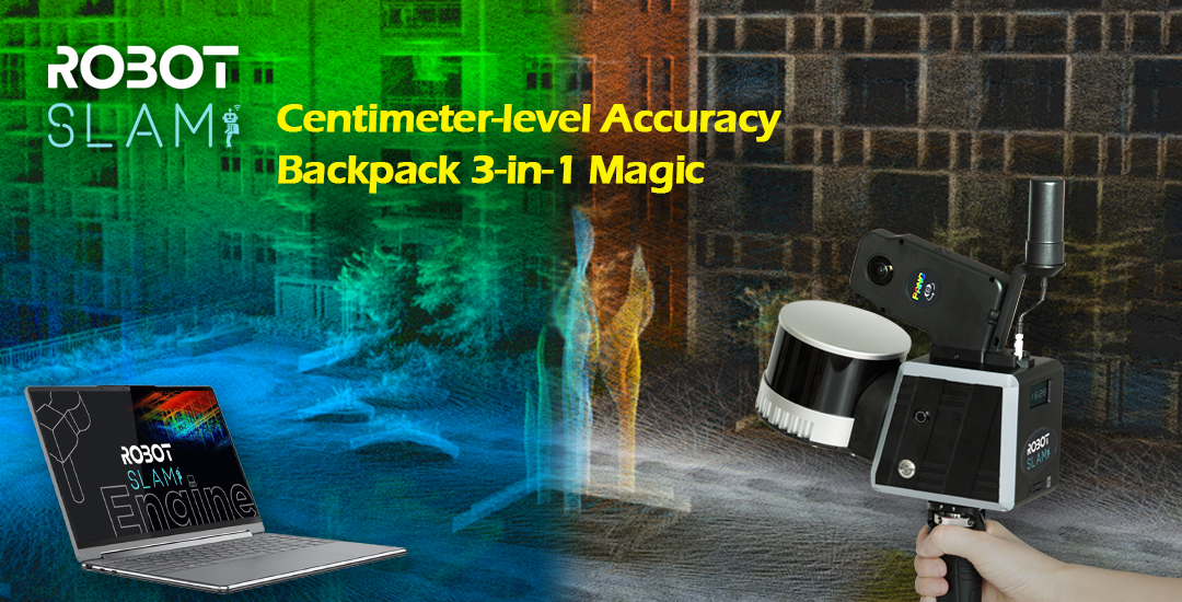
SLAM LiDAR
-
Satellite Imagery
REMOTE SENSING
-
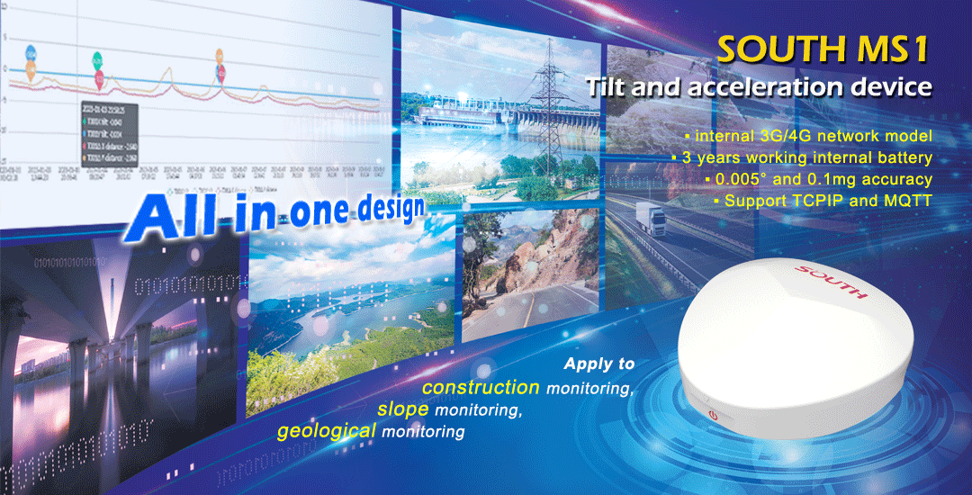
Automatic Deformation Monitoring Systems
-
Environmental Monitoring Systems
-
Relevant Sensors
-
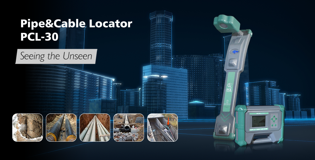
Pipe & Cable Locator
MONITORING SOLUTIONS
-
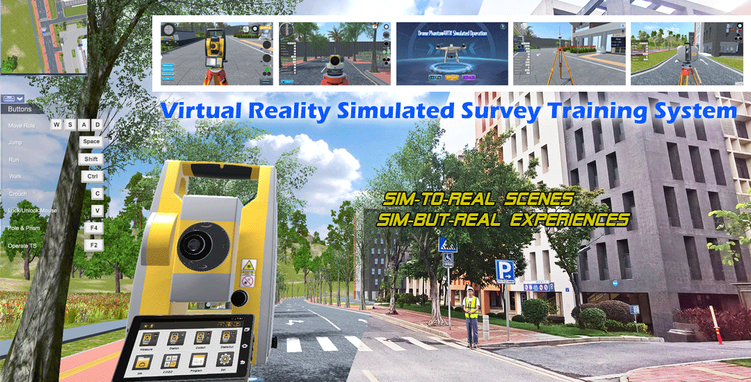
VR Simulated Surveying Training Systems
VR SURVEY TRAINING
-
Auto Steering
PRECISION AGRICULTURE
-
Track Geometry Measuring Trolley Systems
RAIL ENGINEERING
-
Automated Tunnel Scanning & Inspection Systems
TUNNEL ENGINEERING
-
- APPLICATIONS
- COMPANY
- DOWNLOADS